Geoinformatics
Where Location Meets Innovation
Geoinformatics
Transforming Geographic Data into Actionable Insights
Our Cutting-Edge Technologies
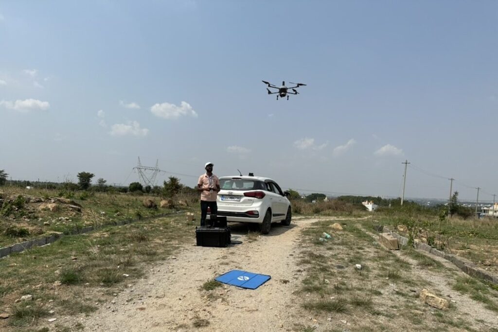
Drone Mapping
Capturing high-resolution aerial imagery for accurate land surveys and analysis
LiDAR (Light Detection and Ranging)
Delivering precise 3D models through laser-based remote sensing.
3D Mapping and Modelling
Converting spatial data into interactive, highly detailed 3D representations.
GIS (Geographic Information Systems)
Managing, analyzing, and visualizing geographic data for strategic decision-making.
GPS & Total Station Survey
Ensuring pinpoint accuracy in surveying and mapping projects.
Why Choose LandPoint?
Specialized Expertise
Our team consists of DGCA-approved UAV (drone) operators, licensed pilots, and globally top-ranked equipment, ensuring the highest quality results.
Unmatched Accuracy
We strive to develop innovative and advanced survey solutions with required accuracy while maintaining cost efficiency.
Commitment to Sustainability
We integrate eco-friendly practices into our designs, ensuring environmental responsibility in every project we undertake.
Commitment to Innovation
We continually adapt to the latest advancements in geospatial technology, ensuring compliance with evolving industry regulations.
Industries We Serve
Our geoinformatics solutions empower industries such as
- Urban Planning & Infrastructure Development
- Environmental Management
- Resource & Land Assessment
- Transportation & Logistics
- Oil & Gas Pipeline Monitoring
Discover how LandPoint’s geoinformatics services can elevate your projects with precision and efficiency. Contact us today to learn more.
Our Services
Connect With Us
Engineering Precision Into Every Step
Talk to Our Experts
+91 80 2321 3065