LandPoint is a leading provider of geospatial and engineering solutions, offering precise, innovative services for efficient planning, decision-making, and sustainable project development across various industries.
Your Trusted Partner in Quality, Security, and Excellence – ISO/IEC 27001:2022 | ISO 9001:2015 | CMMI Level 3
Transforming Industries with Cutting-Edge Solutions
Discover a wide range of professional services tailored to deliver precision, innovation, and excellence across geospatial, hydrographic, and engineering solutions for every project.
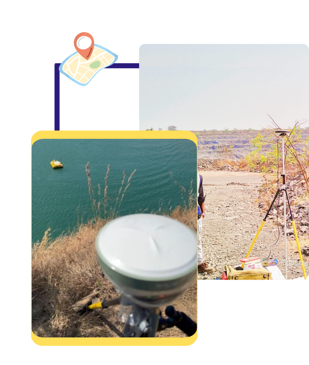
Hydrography
Precise hydrographic surveys for safe navigation and efficient marine development.
Hear directly from our clients about how LandPoint’s expertise transforms projects into lasting successes.
Posted on
Nidha CP
Trustindex verifies that the original source of the review is Google.
Posted on
Ajith Kumar NarayanaSwamy
Trustindex verifies that the original source of the review is Google.
LandPoint Surveys LLP excels in UAV mapping, photogrammetry, GIS, DGPS, and hydrographic surveys using USVs. Their expertise and advanced technology ensure precise and reliable survey solutions. Highly recommended for quality and timely services.
Posted on
Ratheesh mass
Trustindex verifies that the original source of the review is Google.
Posted on
M Shivakumar
Trustindex verifies that the original source of the review is Google.
Professional in (DoS) Drone as Service & GIS Mapping
Posted on
Harshitha M
Trustindex verifies that the original source of the review is Google.
Posted on
Kishan Kishan
Trustindex verifies that the original source of the review is Google.
Greate place to work and good facilities.
Posted on
Kowshik R
Trustindex verifies that the original source of the review is Google.
Posted on
sumanta Mahanta
Trustindex verifies that the original source of the review is Google.
Posted on
pradip bairagi
Trustindex verifies that the original source of the review is Google.
Posted on
vidyavathi shivakumar
Trustindex verifies that the original source of the review is Google.