Geospatial Services
Visualizing the Earth With Accuracy
Geospatial Services
Transforming Spatial Data into Actionable Insights
Our Geospatial Solutions
We specialize in a wide range of geospatial services to cater to diverse industry requirements
Geographic Information Systems (GIS)
Efficient data management, spatial analysis, and geospatial visualization.
Remote Sensing
High-resolution imagery and satellite data for environmental and infrastructure assessments.
Spatial Analysis
Advanced techniques to interpret and optimize spatial patterns and relationships.
Mapping and Visualization
High-precision mapping solutions for land-use planning and development.
Location-Based Services
Real-time location tracking and analysis to support various industries.
Data Integration and Management
Seamless integration of geospatial data for accurate reporting and decision-making.
Land Auditing
Delivering accurate and insightful assessments to optimize land use, reduce ownership risks, and support better land asset management for developers, governments, and private stakeholders.
Industry Applications & Areas of Operation
Our geospatial expertise is applied across multiple sectors, ensuring optimal project execution and resource management. Our key areas of operation include
- Irrigation & Water Resources
- Highways & Infrastructure
- Mining & Natural Resources
- Railway Projects
- Oil & Gas Pipelines
- Urban & Utility Mapping
- Land & Property Management
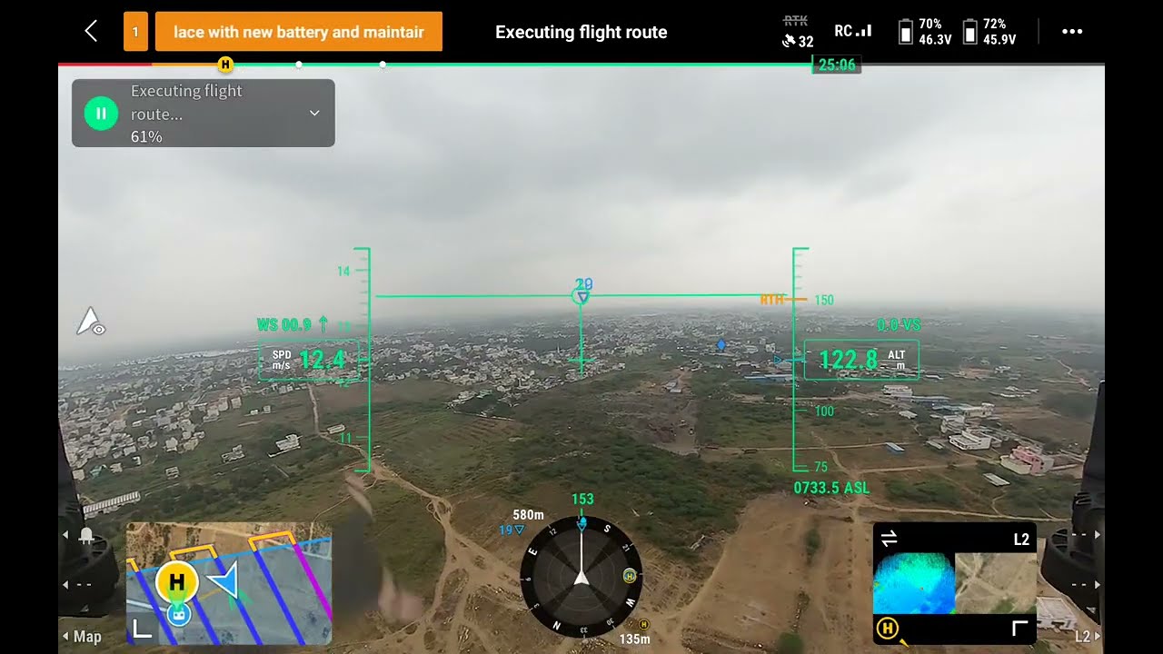
- Drone Mapping & LiDAR
- GIS Dashboards & Mobile Mapping
- Hydrographic & Bathymetric Mapping
Discover how LandPoint’s geoinformatics services can elevate your projects with precision and efficiency. Contact us today to learn more.
Why Choose LandPoint?
Advanced Technology
We utilize state-of-the-art geospatial tools, including LiDAR, UAV (drones), and GIS systems.
Industry Expertise
Our skilled professionals bring years of experience in geospatial analysis and data processing.
Precision & Accuracy
We ensure the highest accuracy levels in mapping, modeling, and data interpretation.
Sustainability Focus
We integrate eco-friendly mapping techniques for responsible and sustainable development.
Our Services
Connect With Us
Engineering Precision Into Every Step
Talk to Our Experts
+91 80 2321 3065