LandPoint is a leading provider of geospatial solutions, specializing in aerial mapping, GIS, remote sensing, and engineering consultancy to empower businesses worldwide.
From land to sky, we turn data into direction, innovation into impact.
To be a trusted leader in delivering innovative and precise survey solutions, shaping a smarter, sustainable future through technology, expertise, and unwavering commitment to excellence.
Our Mission
Our mission is to deliver precise, technology-driven surveying and geospatial solutions that empower clients, foster innovation, and support sustainable development worldwide.
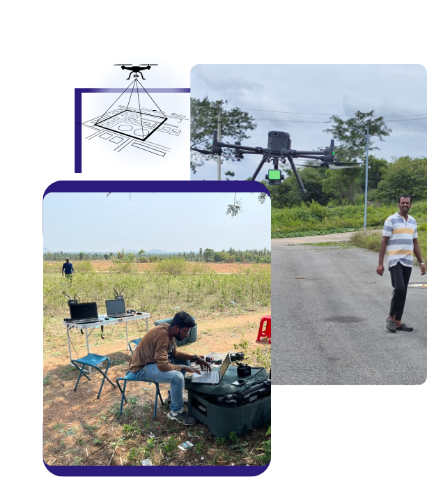
LandPoint is a pioneering provider of geospatial and engineering solutions, delivering cutting-edge technology with precision and expertise. Established in 2016 and incorporated under the Limited Liability Partnership Act, 2008, we are headquartered in Bengaluru, India. Our commitment to excellence has enabled us to serve Government, Semi-Government, Private Organizations, and Corporates globally with cost-effective and first-class services.
Our Expertise
At LandPoint, we specialize in geomatics, aerial mapping, GIS, remote sensing, 3D modeling, engineering consultancy, and geospatial solutions. By harnessing state-of-the-art technology, we empower businesses and industries with accurate and reliable data for informed decision-making. Our team comprises experienced professionals equipped with the latest tools and industry knowledge, ensuring unparalleled service quality.