Proven track record of delivering complex projects with outstanding results.

LandPoint delivers precision drone mapping, GIS and 3D modeling to transform spatial data into smarter decisions.”
Proven track record of delivering complex projects with outstanding results.
Expert professionals delivering precision, innovation, and excellence in every task.
LandPoint is a leading provider of geospatial and engineering solutions, offering precise, innovative services for efficient planning, decision-making, and sustainable project development across various industries.
Transforming terrain into knowledge, challenges into solutions, and data into strategy.
Discover a wide range of professional services tailored to deliver precision, innovation, and excellence across geospatial, hydrographic, and engineering solutions for every project.
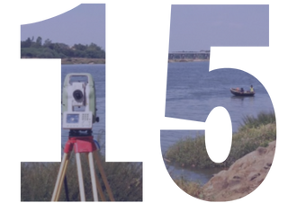
Precise hydrographic surveys for safe navigation and efficient marine development.
Enhancing industries with precise geospatial data, mapping, analysis, and planning.
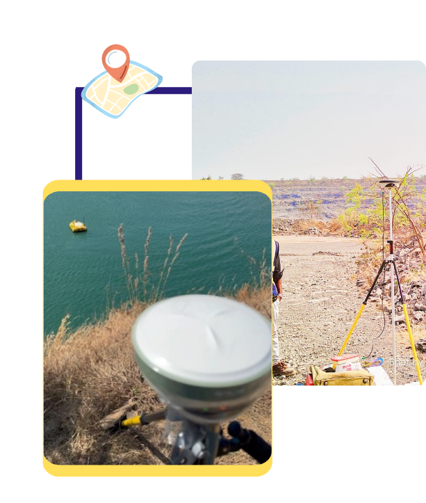
Delivering precise geoinformatics solutions through Drone Mapping, LiDAR, and GIS.
Expert civil engineering solutions in geotechnical, transportation, and water resources.
Our team’s expertise ensures unmatched precision in geospatial, hydrographic, and engineering services.
We provide complete support from data acquisition to analysis and reporting for seamless execution.
EXCELLENTTrustindex verifies that the original source of the review is Google. Posted onTrustindex verifies that the original source of the review is Google. LandPoint Surveys LLP excels in UAV mapping, photogrammetry, GIS, DGPS, and hydrographic surveys using USVs. Their expertise and advanced technology ensure precise and reliable survey solutions. Highly recommended for quality and timely services.Posted onTrustindex verifies that the original source of the review is Google. Posted onTrustindex verifies that the original source of the review is Google. Professional in (DoS) Drone as Service & GIS MappingPosted onTrustindex verifies that the original source of the review is Google. Posted onTrustindex verifies that the original source of the review is Google. Greate place to work and good facilities.Posted onTrustindex verifies that the original source of the review is Google. Posted onTrustindex verifies that the original source of the review is Google. Posted onTrustindex verifies that the original source of the review is Google. Posted onTrustindex verifies that the original source of the review is Google. Good company and well support and facilities